![]() :
Picture from video capture
:
Picture from video capture
Disappointing Non-Tornadic Chase Through Nebraska (Dave Lewison, Chris Kridler, and Jay Antle)
Click any image to enlarge to full size...
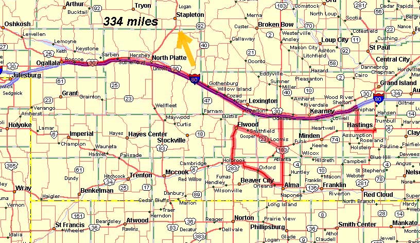
Our path through south central Nebraska is shown here in red. The orange arrow indicates the approximate path the tornadic storm (which we missed) took. |
MAKING OF THE CHASE: This day had the makings of a real outbreak for Nebraska....A very powerful surface low across the SW parts of Nebraska, upper 60's dewpoints, strong upper dynamics, and low level easterly winds, maximizing low-level shear. A warm front extended roughly east from the low's center across southern Nebraska. A dryline was approaching from the west and was located about at the KS/CO border in the morning. We had joined up with Jay Antle the night before in Ogalalla. We all headed out east on I-80 to get a bit further southeast into the warm sector. The plan was to grab some data at the Bosselman's Truck Stop in Elm Creek. |
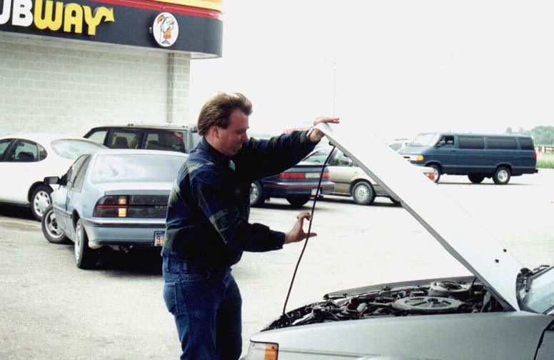  |
At the truck stop, Jay checked his vehicle out one more time to make sure
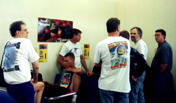
it was totally roadworthy. Inside the truck stop, we found Cloud 9 Tours, Silverlining Tours, and a few other solo chasers....all waiting around for storms to begin firing. A small line of towers went up west of us, so we decided to head out to the SW to intercept the southernmost storm, which seemed like it would have better moisture to work with. |
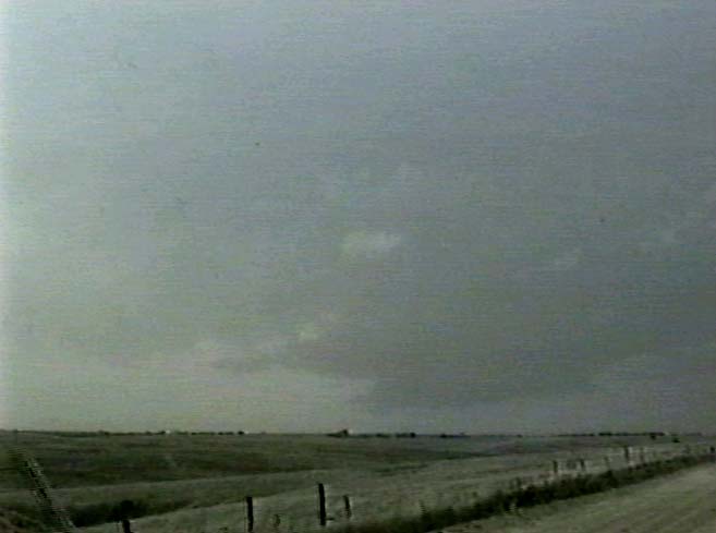 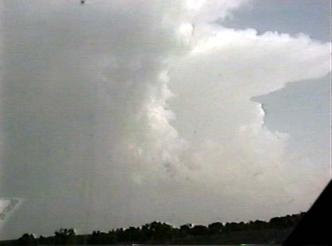 |
It looked pretty decent for a while. A good lowering formed on the storm
being fed by strong easterly winds. However, it didn't take long before the base and
updraft seemed to shrivel up. Further to the south, more storms popped up and looked good from our vantage point. So, we headed south a bit further to intercept. Little did we know that at about this time an incredible photogenic tornado was on the ground near Brady, NE...about 50 miles to our NNW. We heard a generic tornado warning, but assumed that it was north of the front and being blocked by storms to the southeast. |
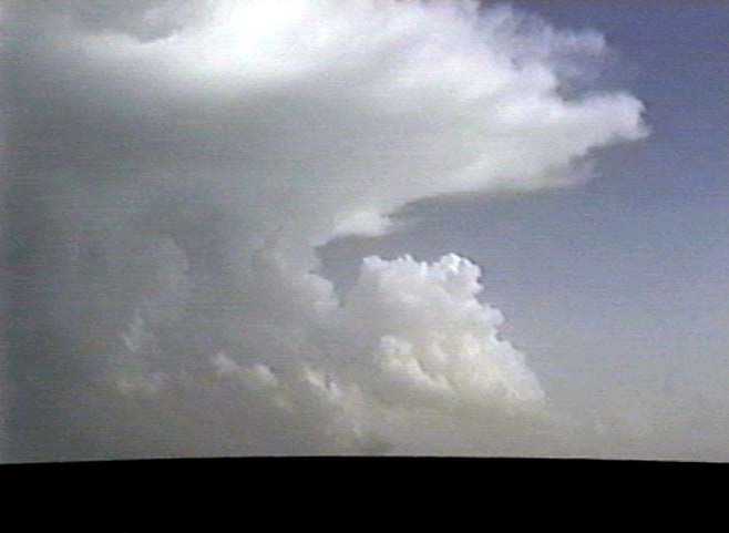  |
Unfortunately, these storms suffered the same fate as the ones before
them...the updrafts shriveled up as soon as we got near. Very depressing! Well, we gave up and headed back east on I-80 to Hastings. On our way, we saw a nice looking storm just to our south, so we decided to go take a closer look. Again, this storm's updraft shriveled like the others. It was neat to watch the storm violently die as it gusted out though! |
| SUMMARY: Well, nothing today seemed to go according to plan. We first intercepted the storm to the immediate south of the one that produced the Brady tornado. We thought that the southern storm would have better moisture. I guess we were wrong...The dryline did not light off at all. Storms went up but then lost their moisture feed. The first storm that we were watching got sheared apart. The only good storm that formed along the warm front was in the immediate vicinity of the low center and actually moved NORTHWEST! I later heard that the triple point apparently wrapped up around the low, which is why that one storm was able to stay together and produce a tornado so far to the northwest. I took some comfort in the fact that many other chasers who came up for the show were also disappointed. It was a tough one to forecast...I guess you just had to be in the right place. |
|
May 11 | May 12 | May 16 | May 17 | May 18 & 19 | May 22 | May 24 | May 25 | May 26 | May 27
Email me at: lewisd2@rpi.edu