
Non-Tornadic Chase Through Western TX (Dave Lewison on Cloud 9 Tours)
| Started the day in Lubbock and headed SE of town towards the Post area. After waiting a while, some towers began appearing at around 3 pm. The first one looked reasonably healthy until we got right up underneath it. | |
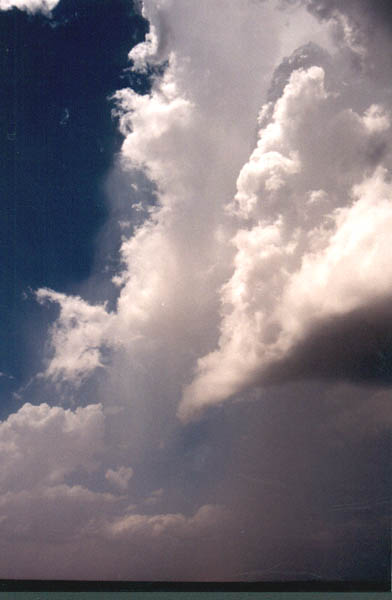  |
The first storm begins dying out as its updraft shrivels up. It apparently tried to cross an old outflow boundary from the previous night's convection. Wispy hail curtains can be seen falling out of the back of the storm. Heading south again we saw hope in this developing tower. It was beginning to develop a nice backshearing anvil. It, too, shriveled up and died within a half hour. |
  |
Getting late in the day now...At about 8:30 pm about 40 miles west of Abilene, we had just about given up on the day. Another tower blew up to our west and anvilled off quickly. As we got closer, it began taking on more definition. |
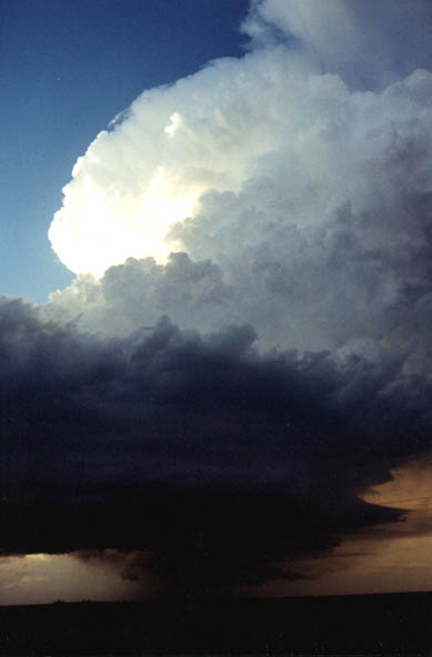 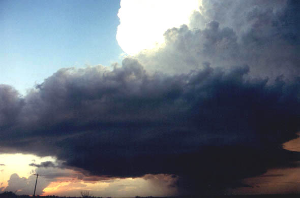 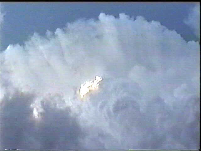 |
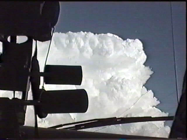
At about 9 pm, we arrived on its south flank and were amazed by the breathtaking structure of a LP supercell. It had almost everything well defined...inflow bands, corkscrewing towers, inflow stinger on the NE side and a nice wall cloud. The third image is looking straight up at the hard towers going off into the anvil. When the RFD came blasting through the base we though we'd see a tornado for sure...but nothing happened. The cold air occluded off the inflow and the storm quietly died off. |
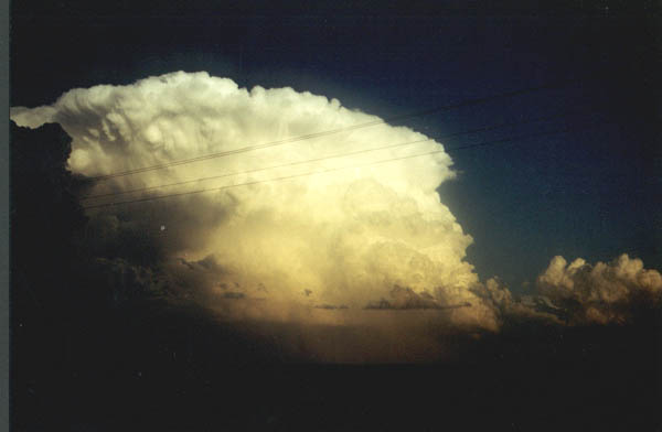 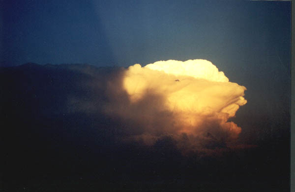 |
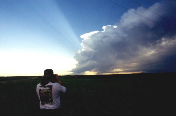
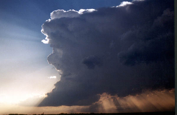
Back off to our east, we could see an incredible bomb tower going up illuminated by the setting sun. Now THIS is the definition of hard convection! It quickly produced a sharp, vaulted backshearing anvil with a huge overshooting dome. It was too late to go after this storm. I don't remember there being any tornado reports out of it, though. Back to Midland to spend the night. |
May 14 | May 16 | May 20 | May 25 | May 26 | May 31 | June 5