![]()
June 5 - 11, 2009
| June 5th - Missed it by That Much | |
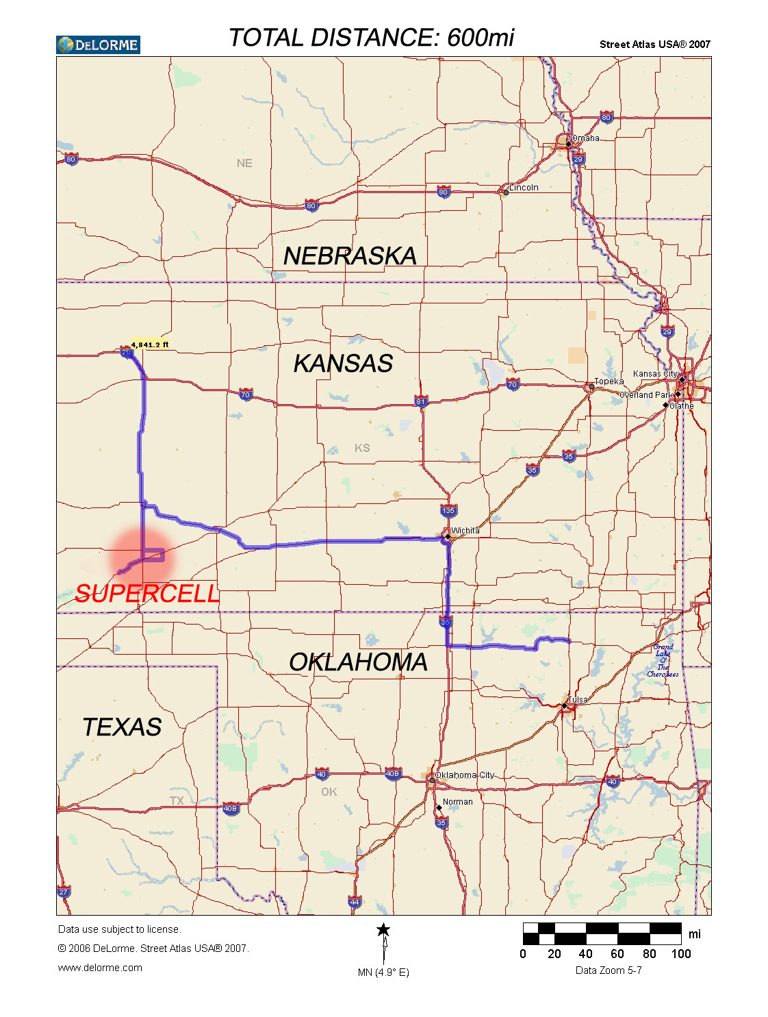
| Missed the mass-publicized Wyoming tornado by about 45 minutes. Wasn't for lack of trying. Just started the day too far away! 600 miles is not easy to cover quickly! | |
 |
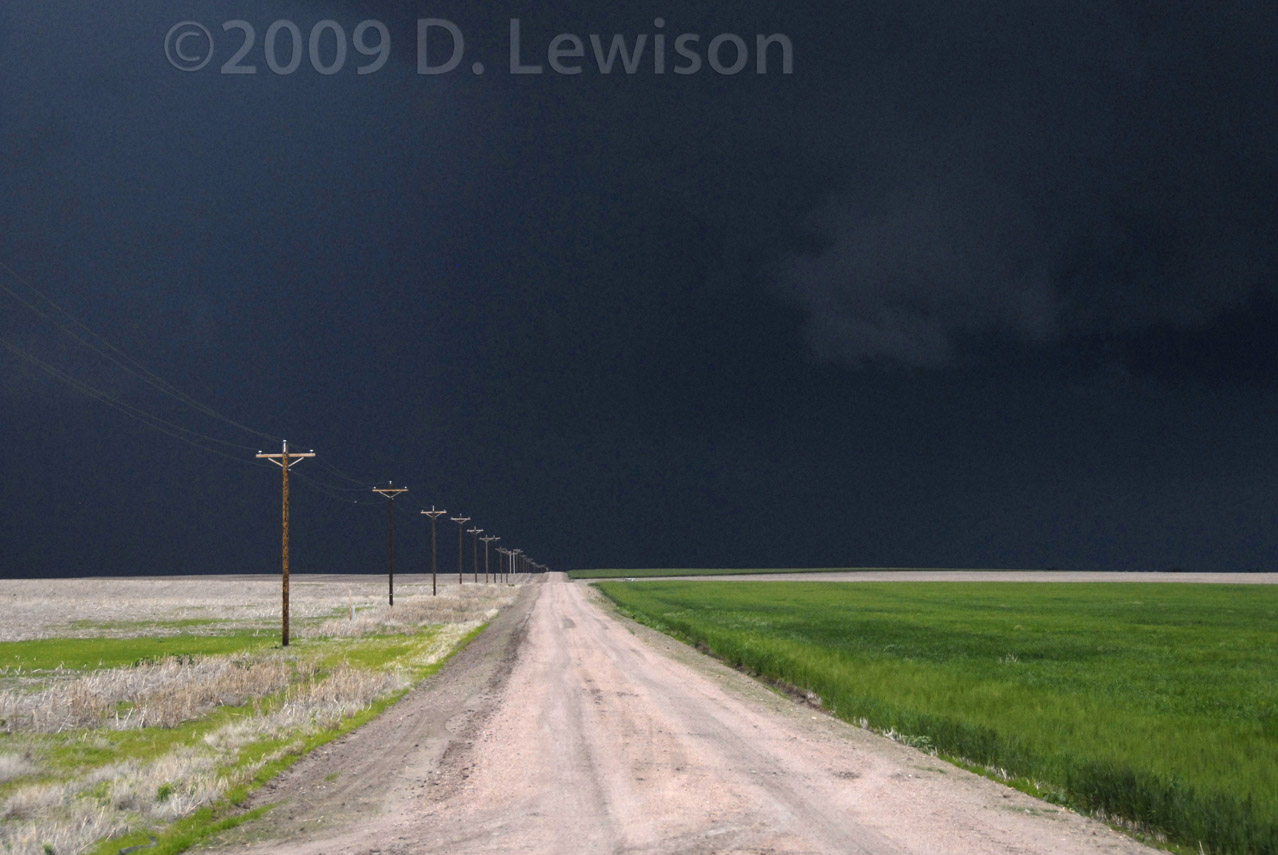 |
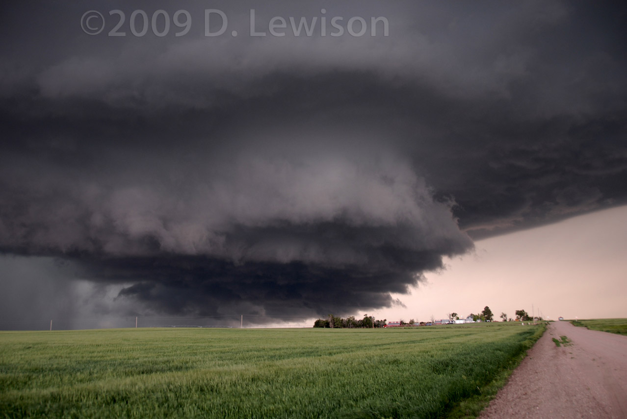
| View of the Wyoming storm as it moved into Nebraska, with some mean-looking lowerings. | Black sky over fields in Nebraska. |
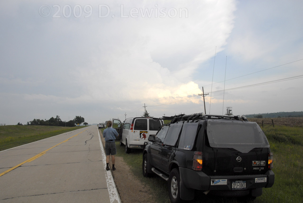
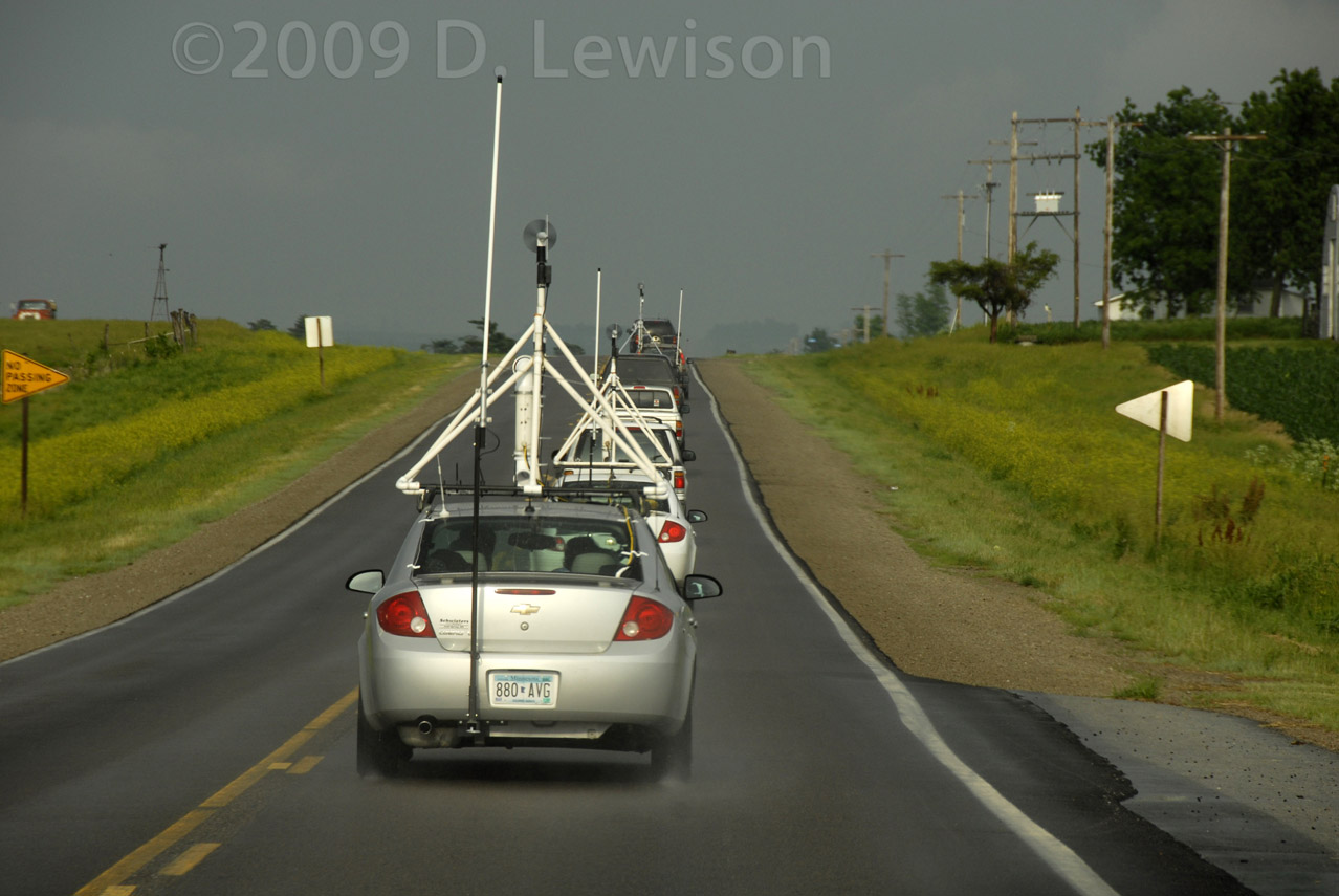
| June 7th - HP Supercells in Missouri | |
 |
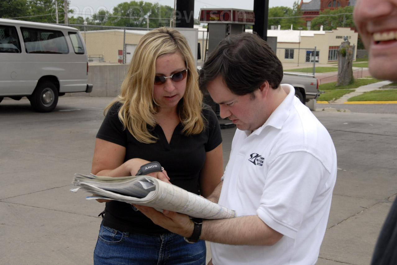 |
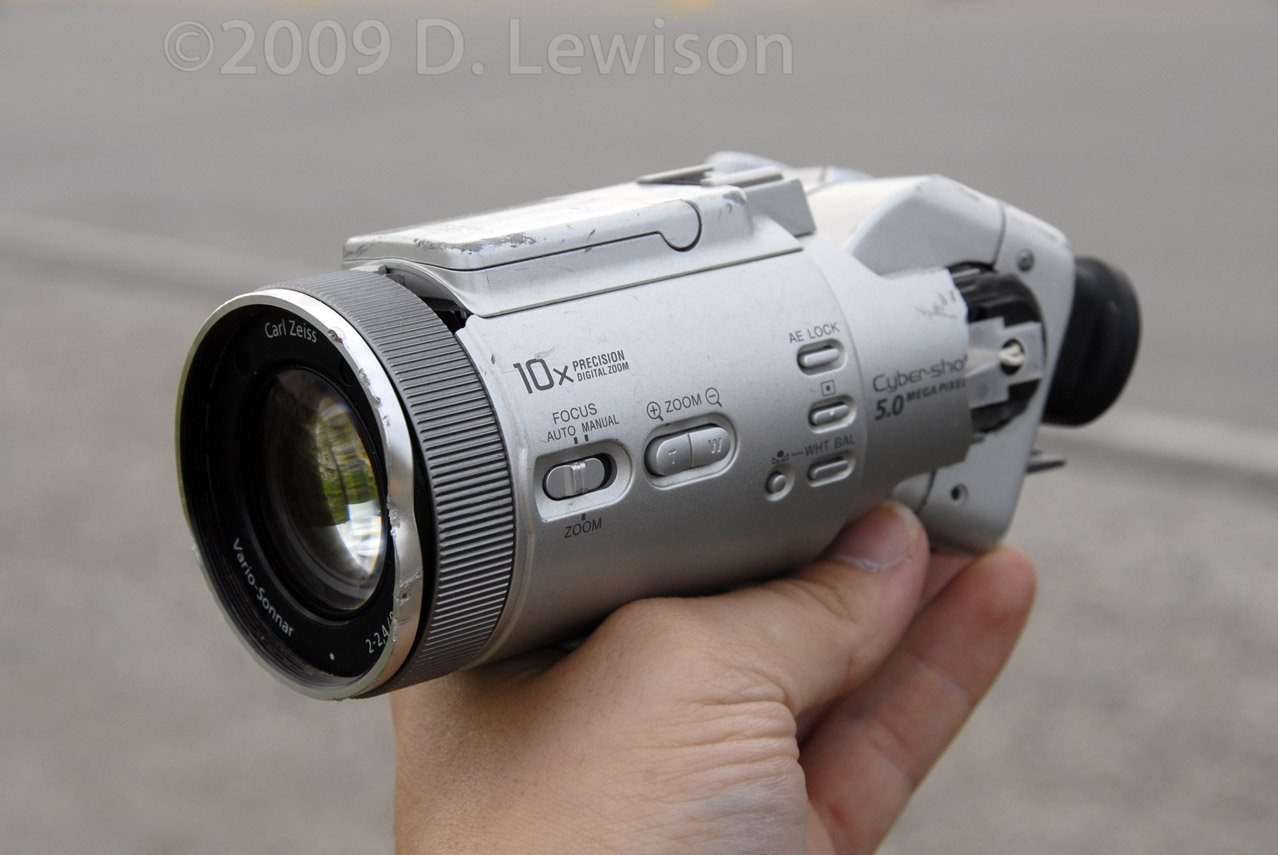
| Mark Robinson's camera fell off the back of his car while going down the highway. It still worked! Kudos to Sony! | Bill Hark and Melanie Metz peruse the maps, deciding on the best target area. |
 |
 |
| Our XTerra and the Cloud9 Tours vans. Still in KS, deciding whether or not to follow a storm into the hills of Missouri. | Part of the Twistex crew, I believe. |
 |
|
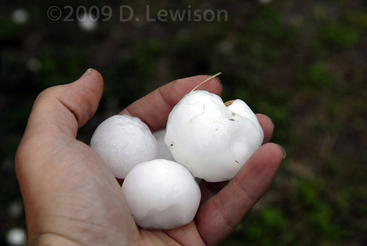
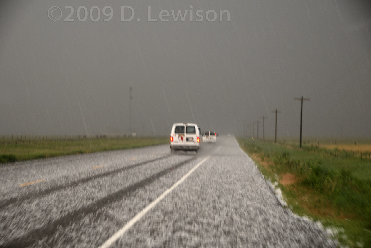
| Some golfball hail lying on the road in extreme western Missouri. | |
| June 10th - Surprise Supercell in SW Kansas | |
 |
|
 |
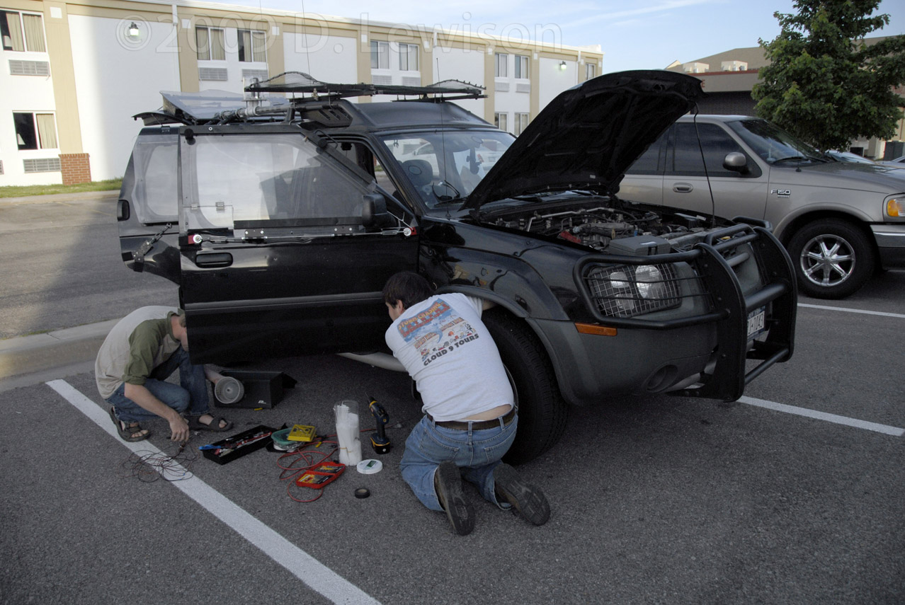 |
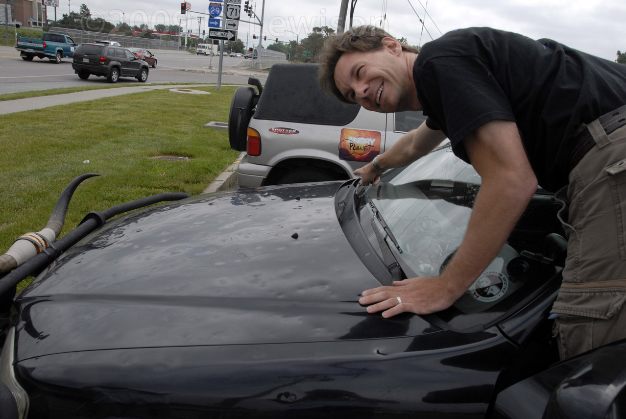
| George shows off the hail dents he got during the previous few days of chasing. | This is me working on getting the new 65W ham radio installed in Scott's truck. |
 |
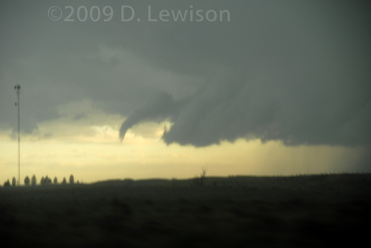 |
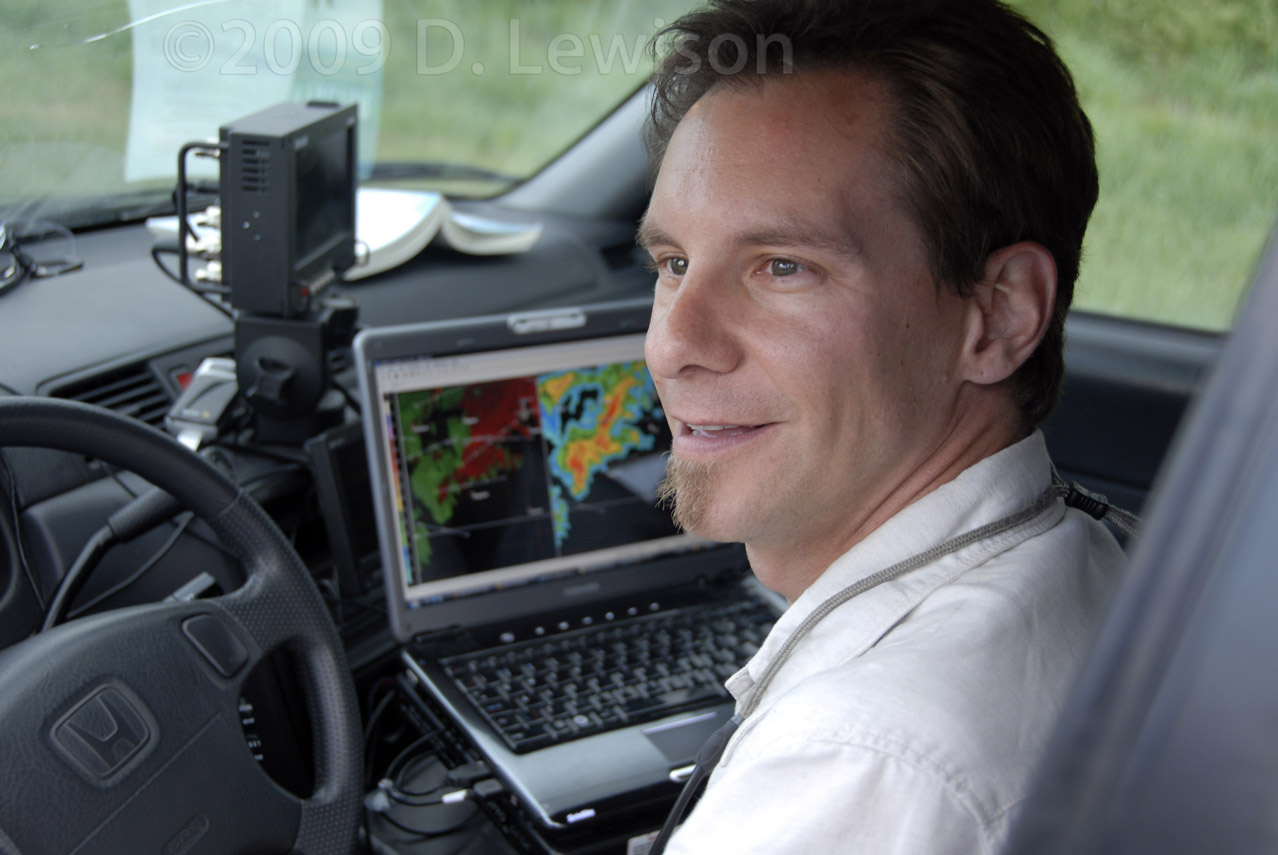
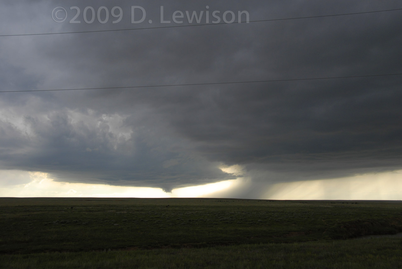
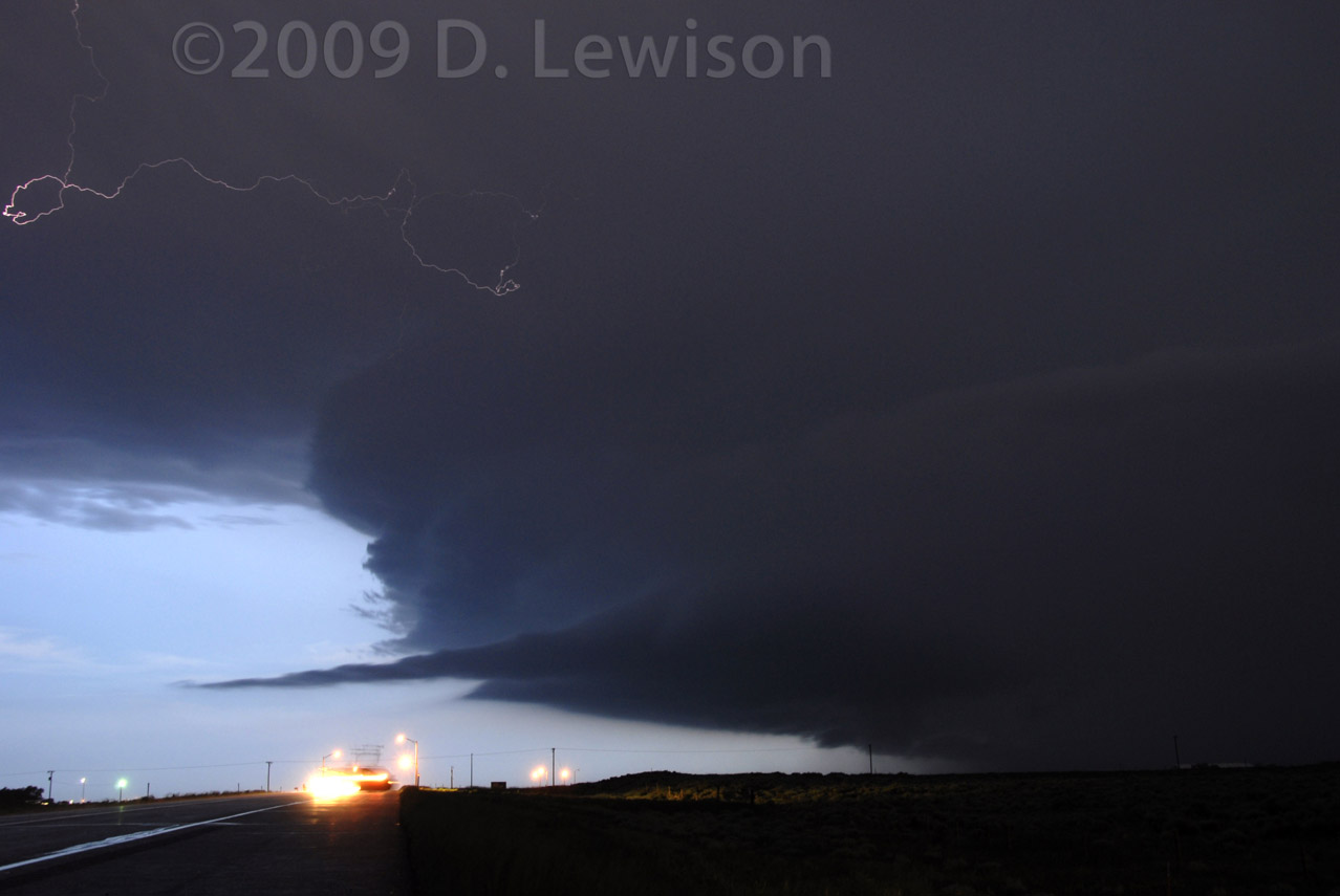
| "Curious" George Kourounis at the helm. | A funnely "thingie" sticks out the eastern side of the storms updraft base. This storm produced a low-contrast tornado while we were just north of the circulation, stuck in the core. We didn't see it, but the winds were howling! |
 |
 |
| The FF core approaches. Nice green color. | After the storm gusted out, it raced east, as we headed back into the sunset. |
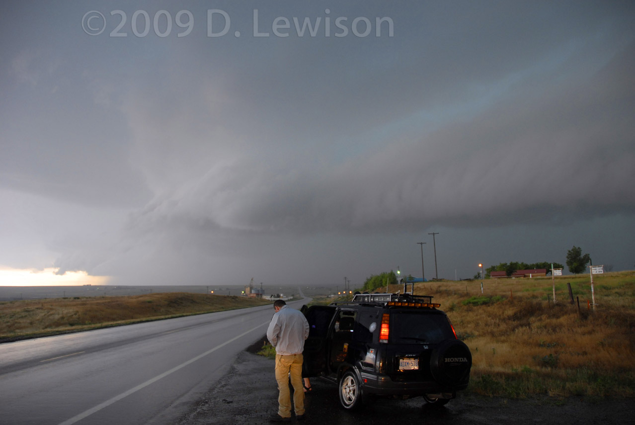
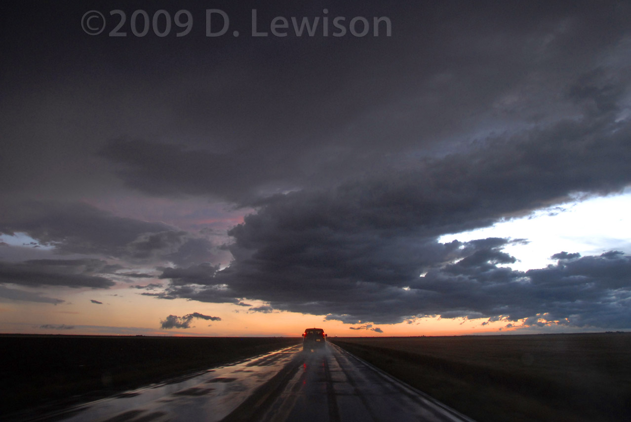
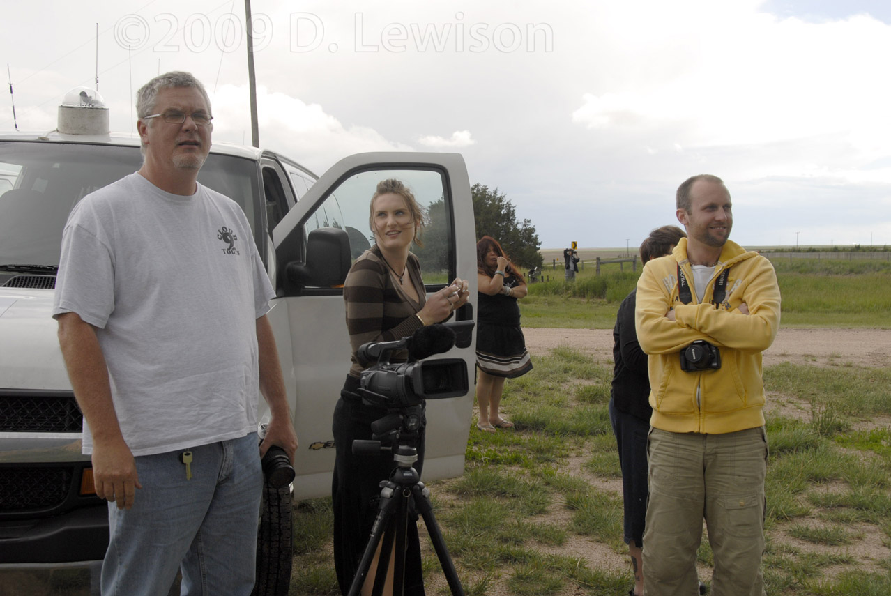
| June 11th - Twin Supercells, High-Plains Style | |

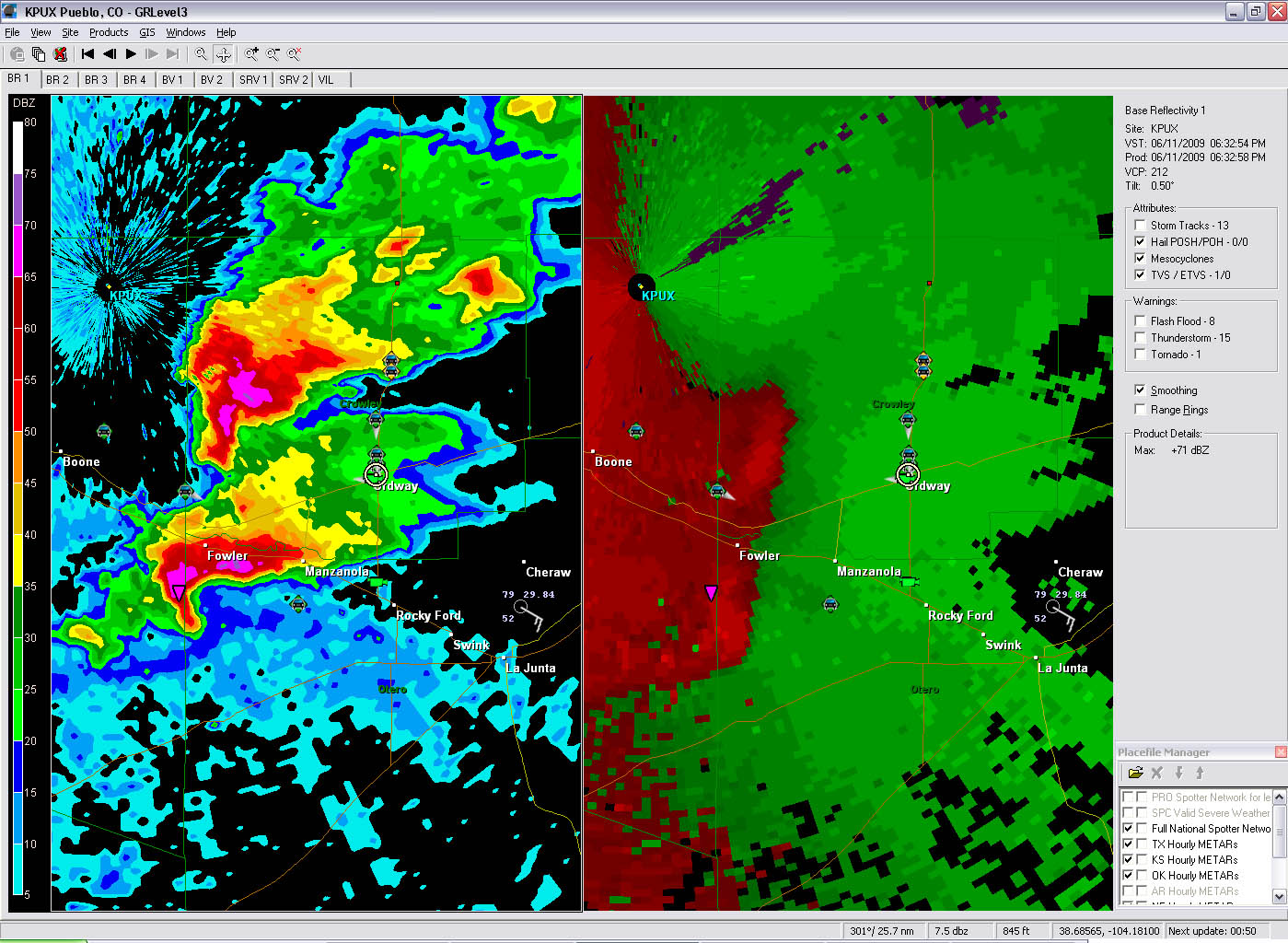 A nice day in the Colorado high plains. Targeted some mushball storms earlier in the day near Denver, but the real show started around 4pm further to the south. The radar image shows two beautiful (albeit high based) supercells we intercepted as they lazily drifted east. |
|
 |
 |
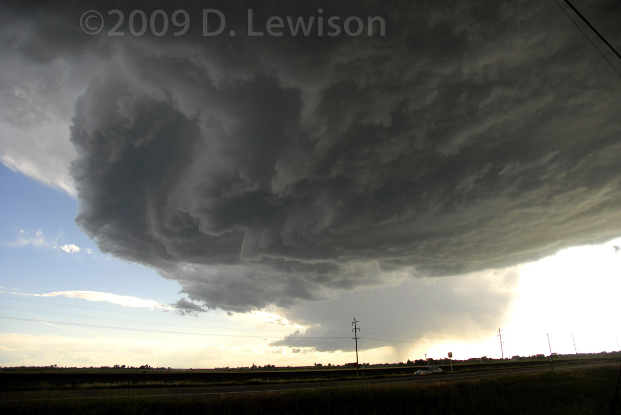
| Charles and some of the Cloud9 Tours group. | The first (northern) of the two supercells shows off a bell-shaped updraft and a tiny wall cloud. |
 |
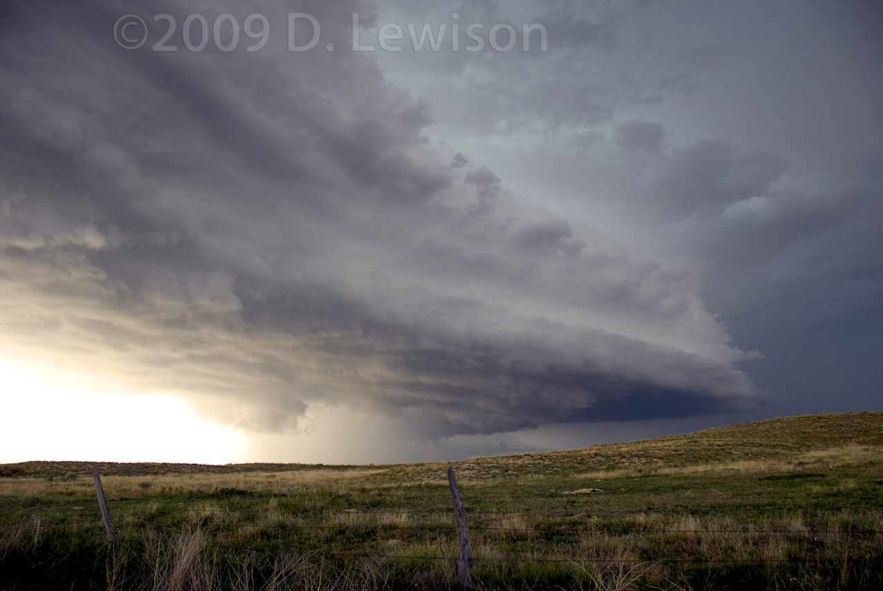 |
| Underneath the 2nd (southern) supercell shows that there wasn't much to this storm's base. | Looking north at the updraft area and flanking line of the 2nd cell. |
 |
 |
| What it lacked in structure it made up for in hail! Not huge stuff, but a LOT of it! The hail guards got some decent tests. | Later on, the storm took on more of a "mothership" appearance. |
 |
|
|
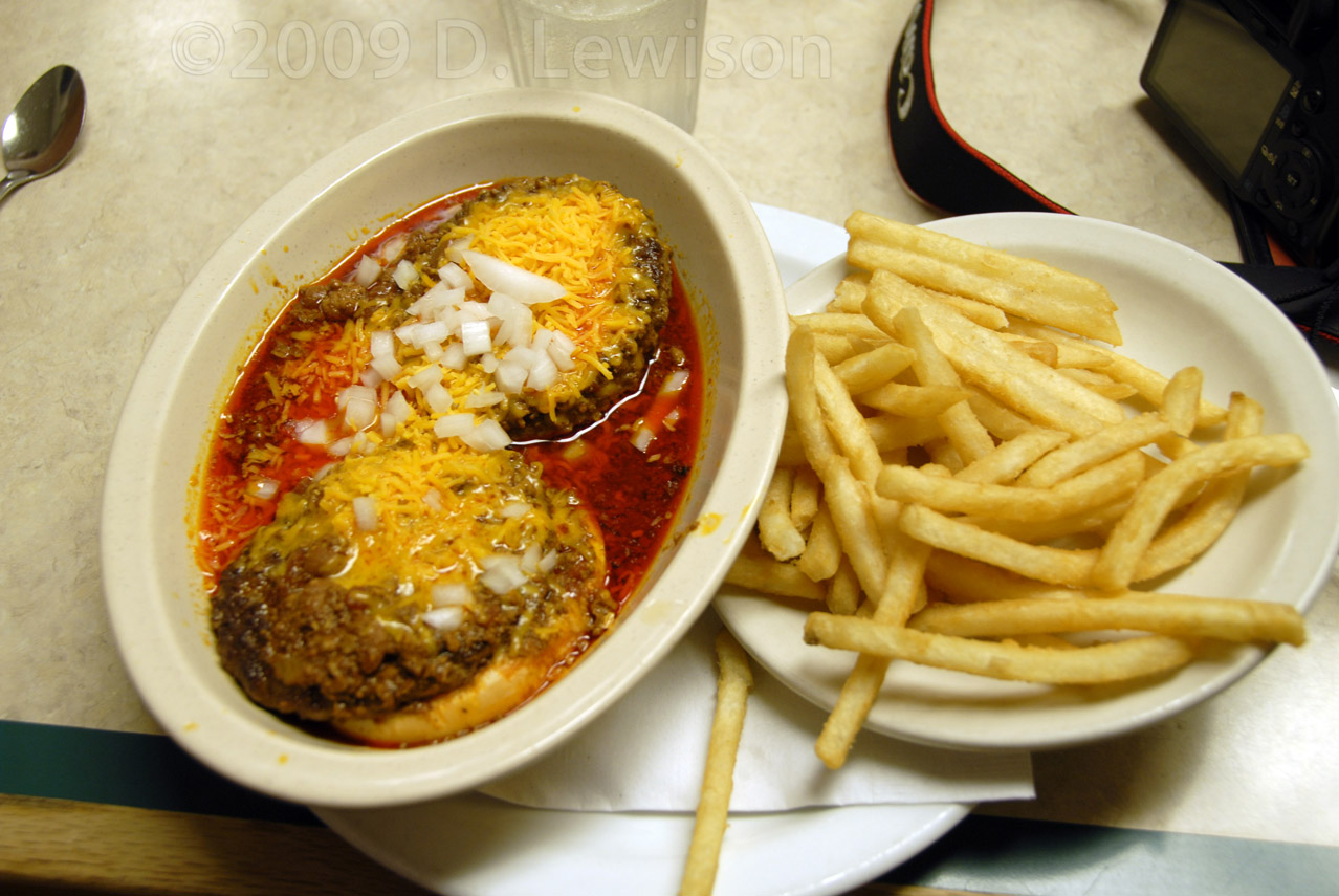
Got grease?? Here's an eastern Colorado delicacy...the "Red Slopper". No, I did not eat this, but I feel sorry for the guy who did! |
|
All Images c. 2009 Dave Lewison. No reproduction without permission.
| Go back to MAIN PAGE |
[an error occurred while processing this directive]